MS-GIST at University of Arizona
Python and ArcPy
This lab incorporated the same project as the Model Builder assignment, except this time, we were assigned with creating a tool using Python.
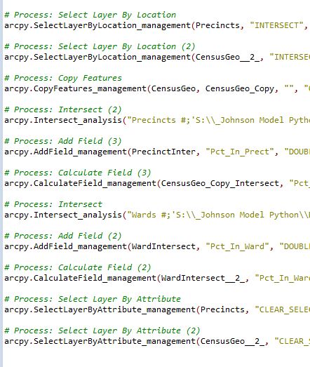
Portion of code for cleaning up census data.
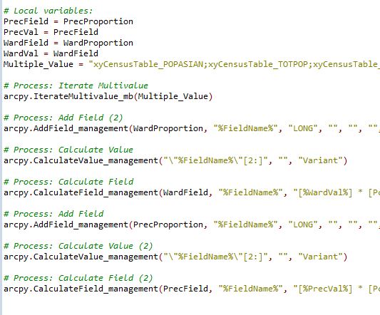
Portion of code to create and calculate new fields.
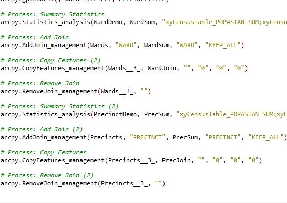
Portion of code that incorporates previous sections of code to summarize population data.
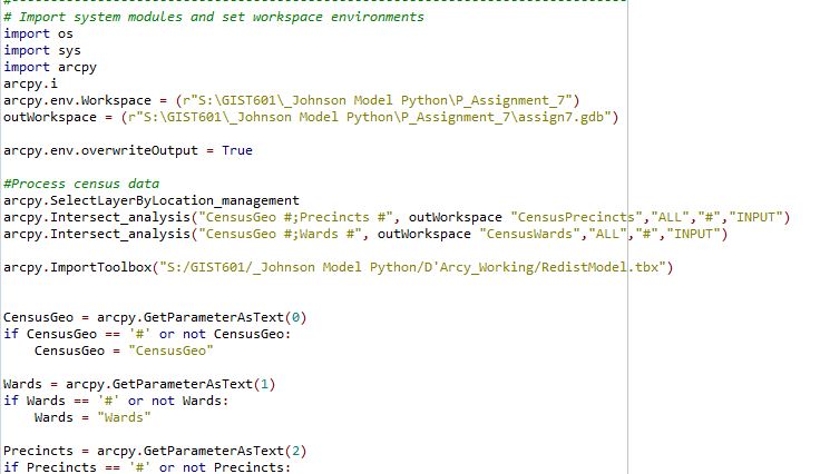
Portion of final code.