MS-GIST at University of Arizona
Spatial Analysis II
Screenshots and maps from the second section of Spatial Analysis
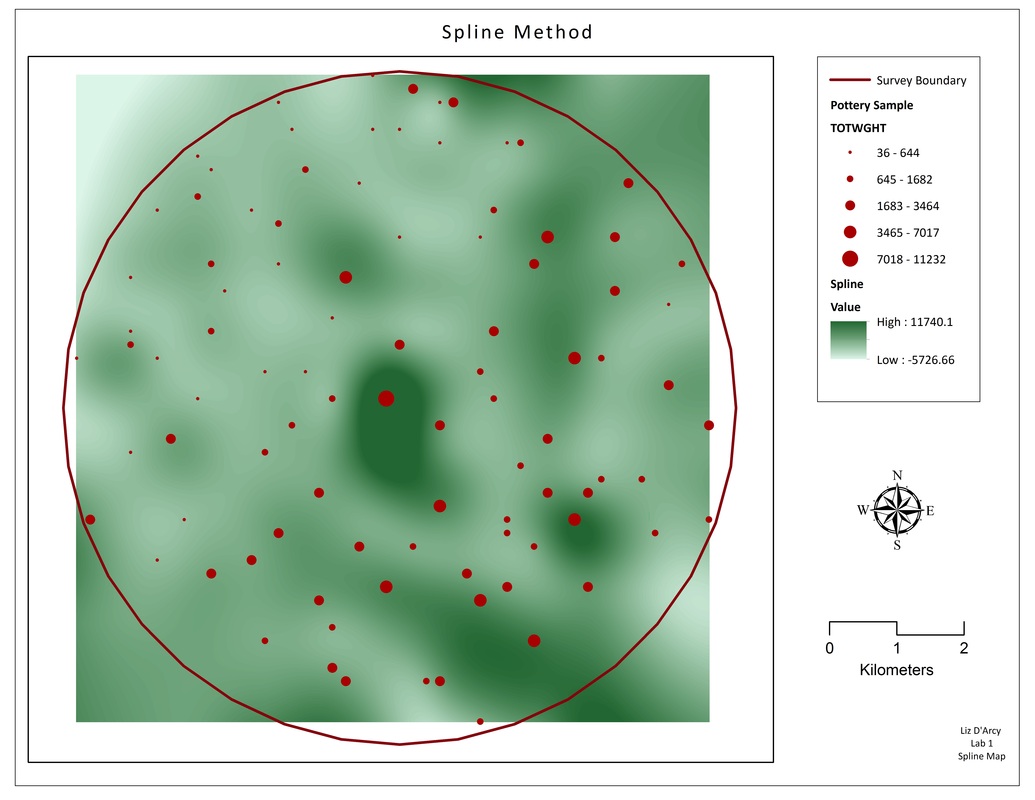
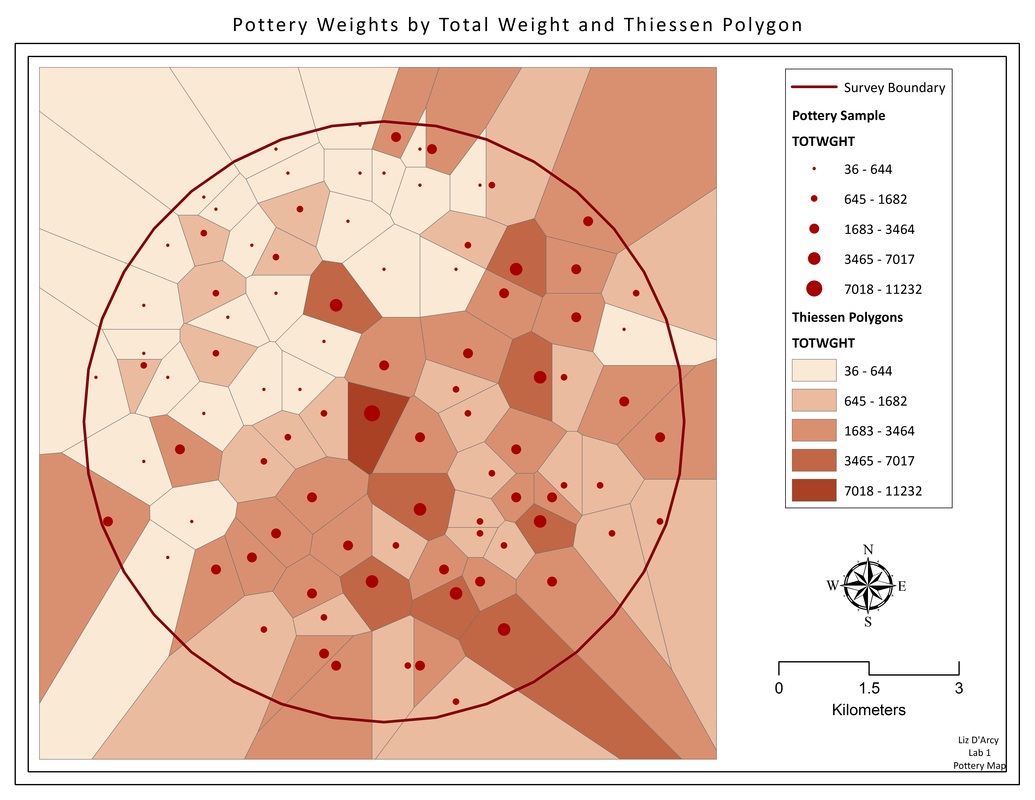
Surface Creation

|
|
|
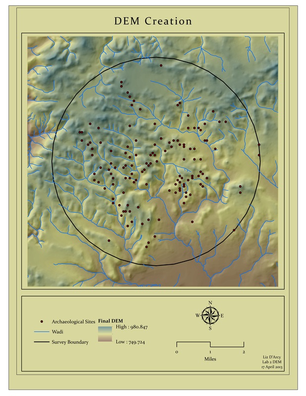
DEM Creation
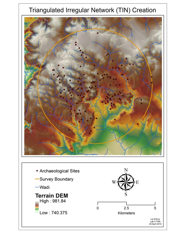
TINs
Viewshed Analysis
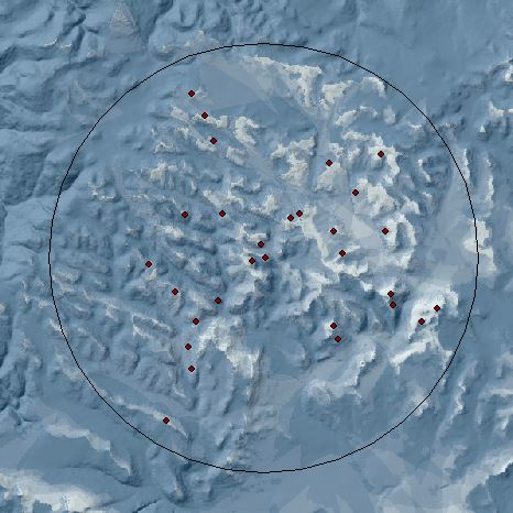
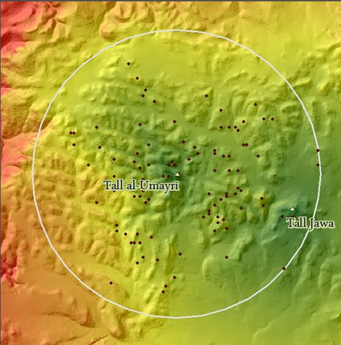
Group 1
|
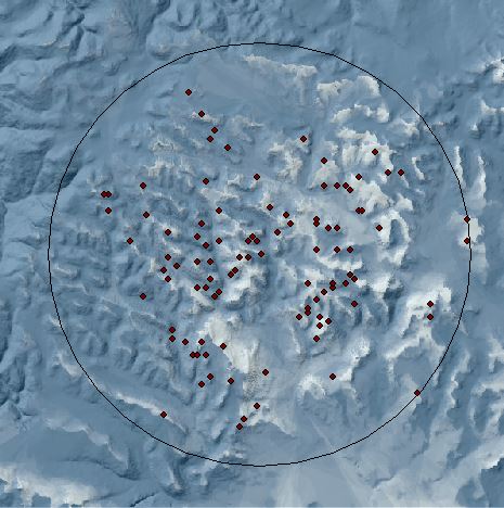
Group 2
|
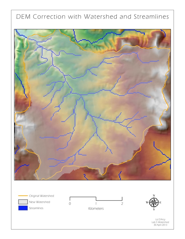
Watershed from USGS DEM (NED Data)
Correction of a USGS Quad and hydrologic analysis.
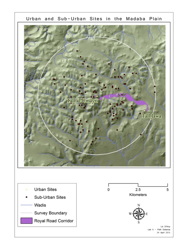
Mothers and Daughters - Path Distance and Corridor Creation
Path Distance
|
|
Geometric Normalization
Manipulation of county tract and school demographic data to create “snapshots” of various conditions in school districts. Difficulty: vertical integration issues and need to combine datasets.
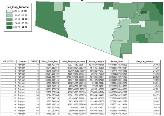
Snapshot of one result. Used dissolve, sum, new field and calculate to determine PCI.
Logistic Regression
Creation of a probability model using logistic regression, evaluating the model's efficiency.
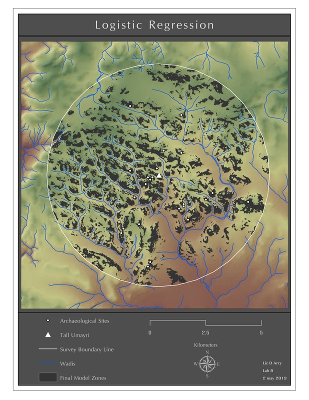
Final Result.
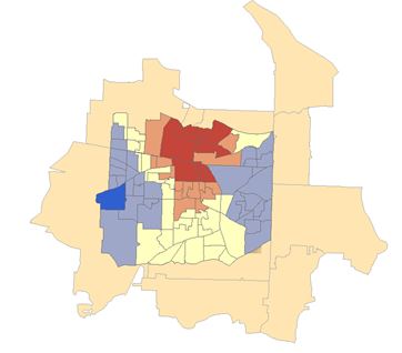
Linear Regression
Ordinary Least Squares and Geographically Weighted Regression.
Snapshots:
Snapshots:

OLS
|
GWR
|